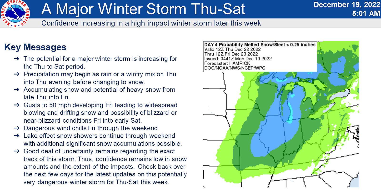
The National Weather Service has increasing confidence in a major winter storm that will impact the area later this week in the Thursday to Saturday period. Moderate to heavy snow accumulations appear likely. Strong winds will also accompany this storm with winds up to 50 mph forecast. The combination of snow and strong winds will lead to potential blizzard or near-blizzard conditions. Falling snow combined with strong winds will produce poor visibility and whiteout conditions. Roads may become impassable due to drifting snow making travel extremely hazardous.
The National Weather Service and Marshall County Emergency Management Agency said, “If you have plans to travel this holiday weekend, make sure you take precautions.”
- Know the terms used by weather forecasters so that you clearly understand the risk to you and your family, including:
- Winter weather advisory – winter weather conditions are expected to cause significant inconveniences and may be hazardous, especially to motorists.
- Winter storm watch – Be alert, a storm is possible
- Winter storm warning – Take action, the storm is occurring or will soon occur in the area
- Blizzard Warning – Snow combined with strong winds can produce near zero visibility, deep drifts, and life-threatening wind chill, seek shelter immediately.
- Avoid traveling on roads that are obviously drifted and impassable.
- Keep your gas tank near full to avoid ice in the tank and fuel lines.
- Let someone know your timetable and route of travel in case you get stuck.
- Carry a “winter storm survival kit” that includes: a cell phone and charger, flashlight, blankets, extra clothing, first aid kit, snack food, a small can and waterproof matches to melt snow for drinking water, tow rope, a sack of sand or cat litter for traction, a small shovel, jumper cables, flares, or orange emergency flag to tie to the antenna.
If you do get caught in a winter storm, please remember the following:
Stay in your vehicle:
- You will become quickly disoriented in wind-driven snow and cold.
- Run the motor for about 10 minutes each hour for heat
- Open the window a little for fresh air to avoid carbon monoxide poisoning. Make sure the exhaust pipe is kept free of blockage
Be visible to rescuers:
- Turn on the dome light and emergency flashers when running the engine.
- Tie a colored cloth, preferably red or orange to the antenna or door.
- After the snow stops falling, raise the hood to indicate you need help.
A cold front will begin to usher in colder temperatures on Friday and into the weekend. Temperatures will drop considerably as the arctic air deepens. Wind chill values may fall well below zero Saturday night and Sunday night. Temperatures will remain low for much of the upcoming week.
Extremely cold temperatures, such as those that are forecast, are dangerous to people, animals, and property. For more information regarding winter weather preparedness, you can contact the Marshall County Emergency Management Agency at 936-3740 or download the Marshall County IN APP to your smartphone through Google Play or the Apple Store. Once at the store search “Marshall County Indiana”.
Remember: Emergency preparedness is everyone’s responsibility!