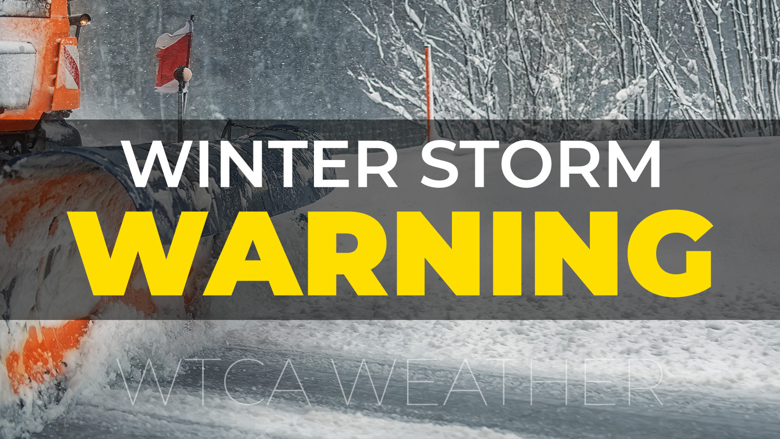
Marshall County has been upgraded from a Winter Storm Watch to a Winter Storm Warning which goes into effect beginning at 4 p.m. on Thursday, December 22nd, and lasts until 7 a.m. on Saturday, December 24th. Predicted snow total amounts will be between 5 to 9 inches with winds gusting as high as 45 mph. Dangerously cold wind chills between -20 to -30 degrees below zero are forecast.
According to the National Weather Service, a storm like this is rare (1 every 5-10 years) but impacts will NOT rival the 1978 blizzard.
The combination of snow and strong winds gusts of 45mph to 55mph will result in blizzard to near-blizzard conditions. Rain will quickly turn to snow late Thursday evening through Friday evening and roads will quickly become snow-covered and extremely slick and hazardous. Significant blowing and drifting of snow will occur primarily across north-south roads. In addition, dangerous arctic air with wind chills well below zero at -15 to -30 below zero and will overspread the area.
Extremely hazardous/dangerous driving conditions will result in an increase in accidents and slide-offs. Drifting across roads may result in an increased number of calls for assistance from drivers who become stranded. Drifted roads may impact emergency response times. Exposure to extreme cold will result in frostbite and possibly hypothermia. Strong wind gusts may damage trees or tree branches which could lead to power outages and cause heating issues for homeowners and businesses. Frozen water lines are likely.
Marshall County Commissioner Kevin Overmyer, Highway Superintendent Jason Peters, and EMA Director Clyde Avery met Wednesday morning to develop a “Snow-Fight” plan which includes assisting emergency response agencies as needed. Agreements have also been made to utilize private contractors with front-end loaders if that should become necessary.
Warming Centers have been established by the City of Plymouth at the Conservation Club House, Argos will use the town’s municipal building and the Town of Bourbon will be making the Matchett Center available. Residents who need shelter will need to contact their local law enforcement agency for access to the warming centers. The information was shared with Marshall County Dispatch Center. Warming Center information was also provided to United Way 2-1-1.
NIPSCO sent out an email out to the county indicating that they are preparing available NIPSCO crews and contractor resources to respond to this anticipated weather event.
A Red Cross member has been working to find a facility and volunteers if a shelter is needed.
The Marshall County Sheriff’s Department will be readying their Hummers in case they are needed.
Rachel Greenwood from INDOT and EMA Director Avery will be communicating as needed during the event to maintain situational awareness during the winter storm event.
The Indiana National Guard Highway Assistance Teams (H.A.T.) can be requested through the State Emergency Operations Center if needed.
Avery included definitions in this news release.
A Blizzard Warning means that conditions are occurring or expected within the next 12 to 18 hours. Snow and/or blowing snow will reduce visibility to 1/4 mile or less for 3 hours or longer AND we will have sustained winds of 35 mph or greater or frequent gusts of 35 mph or greater. There is no temperature requirement that must be met to achieve blizzard conditions.
A Winter Storm Warning is issued when a significant combination of hazardous winter weather is occurring or imminent. Significant and hazardous winter weather is defined as a combination of: 5 inches or more of snow/sleet within a 12-hour period or 7 inches or more of snow/sleet within a 24-hour period AND/OR enough ice accumulation to cause damage to trees or powerlines AND/OR
a life-threatening or damaging combination of snow and/or ice accumulation with the wind.
A Wind Chill Advisory is issued when wind chills of -5F to -19F are expected, and when wind chills of -10 to -24F are expected.
A Wind Chill Warning is issued when wind chills of -20F or lower are expected, and when wind chills of -25F or lower are expected.
EMA Director Avery will continue to monitor the situation and provide updates as they are made available.