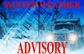
 A mix of light snow and freezing drizzle will continue this morning. Most of the precipitation will change to primarily light freezing drizzle by midday. Then again mix with snow and sleet late this afternoon and evening. You can expect primarily snow by late Saturday. A more intense burst of heavier lake effect snow is expected early Sunday morning along with patchy blowing.
Ice accumulation and snow today is less than one tenth of an inch, however snow accumulations from this evening into midday Sunday is expected to be 2 to 4 inches north of U.S. 30 with lesser amounts south of U.S. 30. Snowfall rates may peak at 1 to 2 inches per hour with near zero visibility Sunday morning.
Untreated roads will remain slick and hazardous. Use caution when driving.
A weather watch indicates the potential for severe or damaging weather conditions.