Here is the latest information on the current winter weather event and flooding event.
- The Winter Storm Warning remains in effect from 8:00am this morning until midnight tonight. Mixed precipitation will begin to occur this morning before transitioning to snow. Total snow accumulation for Marshall County will be between 5-9 inches. In addition, strong winds gusting as high as 40 mph will result in considerable drifting.
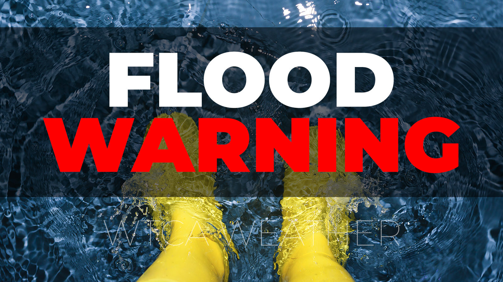
- UPDATE: The National Weather Service has issued a Flood Warning for the Yellow River in Plymouth. The Yellow River is currently at 10.34 feet and is forecast to rise to 13.9 feet by Saturday afternoon before starting to recede. Flood stage is 13 feet. The Tippecanoe River at Ora is currently at 9.77 feet and forecast to rise to 12.4 feet by late Monday. Flood stage is 12 feet.
- We are currently at a “Watch” level travel advisory, and water has resulted in several roads in the county being posted with high water signs.
- UPDATE: A new list of High-Water areas and Roads Closed due to high-water is attached.
- UPDATE: We are seeing an increase in water levels in ditches, creeks, and retention ponds. Ponding water is also causing flooding issues in homes with basements and crawl spaces that may not have experienced flood issues in the past.
- UPDATE: Marshall County EMA Director has received several requests for sandbags. Sand and Sandbags are available at the old EMA office located at 9515 King Road in Plymouth, which is just north of the Marshall County Highway Garage. Individuals wanting sandbags will need to bring their own shovel.
- No shelter has been requested and none are currently activated.
THREATS:
- UPDATE: Flood Warning issued for the Yellow River in Plymouth.
- The Winter Storm Warning is still in effect. The Winter Storm Warning will be in effect from this morning at 8:00 am through Thursday at midnight. Heavy mixed precipitation is forecast including a chance for ice accumulation of up to 1/10 of an inch. Additional snow accumulation of 6-10 inches is also forecast. Snow rates will be 2 inches per hour late Thursday afternoon into early evening.
- North to northeast winds will cause some blowing and drifting issues Thursday evening into Friday morning.
- Temperatures will fall Thursday night into Friday morning to between 7-15 degrees with wind chills in the single digits. Temperatures will remain below freezing on Saturday which will cause water on road surfaces to freeze.
IMPACTS:
- Gusty winds will blow around unsecured objects outdoors. Trees and tree branches may break and could result in in damage to powerlines leading to power outages, damage to structures, damage trees may end up across streets and roads and could result in hazardous driving conditions.
- Heavy Rain and snow melt will result in flooding of low-lying areas and areas prone to flooding during heavy rains. Ditches, creeks, and retention ponds will see an increase in water levels. At 13.5 feet some residential and commercial properties near the Jefferson Street Bridge in Plymouth begin to flood. Low lying agricultural areas flood as do roads in low lying areas making travel difficult if not impossible on some roads.
- The winter mix, including the potential for ice and heavy snow, will make roads hazardous for drivers especially during the evening commute on Thursday.
PREPAREDNESS ACTIONS: Bring in or secure loose objects from outdoors to prevent them from being blown causing damage. If you live in an area that is prone to flooding, take action now to protect yourself and your property. Pay attention to roads that have been marked or closed due to high water. Do not move or drive around cones, barricades, or high-water signs. These devices have been placed there to protect you from a know hazard. Please find an alternate route if your primary route is not accessible due to flood waters across the road. Always drive for the conditions. Give yourself extra time to reach your destination, SLOW Down, increase your following distance, let someone know where you are going and when you expect to arrive, and carry an emergency kit in your car in case you get stuck, or your vehicle becomes disabled.
Highwater=2/16/2022 Highlighted=2/17/2022
North German
- 7th-King to Jarrah
- 5th-Gumwood to Hawthorn=CLOSED
- Gumwood-5B to 6th
- 5th & Hawthorn
- Grape-4th to 5th=CLOSED
Center Bourbon
- 12th-Ironwood & Iris=2
- Hickory-12B to 14th=2
- 12B-Jarrah to Hawthorn=2
- Gumwood-8th to 7th=2
- Hickory-8th to 7th
- 8th-Hickory to Fir
- 8A-Iris to Hawthorn & 8B
- 14B to Elm=sandbags
- Gumwood to SR10 & 15=sandbags
- Jarrah-12B & 14th=2 CLOSED
- 9B & Gumwood
- Fir-30 to 8A
- Juniper-12th & 14th
North
- Oak n/o 3rd=2
- 1A off Oak=permanent sign
- Olive s/o 4th=2
Center
- 11B-w/o Muckshaw=2
- 13th-Maple east to curve 1
- 12th-31 to King=2
- King-Lincoln Hwy to 11th=2
- 13th-Olive to Muckshaw=2
- Michigan & 14th
- Olive Trail-13th to 14B
- King-10th to 12th
- Oak-7th & 7B
- 12B-King to 31
Green
- 19th-Linden & Maple=2
- 14B & Nutmeg=2
Walnut
- 20B-Michigan to 31=2
- 19th-Michigan tp Fir=2
- Gumwood-SR10 to 15th=CLOSED
- S Michigan-Argos to SR110
Union
- SR17 & Union St=2
- 20B e/o Sycamore=2
- 15B w/o Redwood=2
- 14B-SR17 to W.Co.Line=2
- Redwood-14B to 15B in Hibbert=2
- 14B & Muckshaw=2
Bourbon
- 13th Trail-331 & Beech
- Beech-8th & 7th
- Beech-9B to 10B=CLOSED
- 8A-Fir & Elm
- 8th-331 & Elm
- 9B-331 to Co.Line=2
- 8th-331 to Bourbon=2
- 11th & Elm
- Elm-30 & 10th=2
- SR10-17C
- 9B & Fir
- 14th & Beech
German
- 6th-Cedar & Beech=CLOSED
- Cedar-6th & 7th
- Beech-6th & 7th
- 3B & Beech
- Beech n/o US6
- 5th-Fir & Elm
- Ply-Goshen & Beech
- 1st & SR331
Tippy
- Sr10 & Birch
- 18th & Birch
- 14B & Elm=3
- Fir-17B to SR110=2
- 20th-Fir to 331=2
- Dewberry-17B to 18B=2
- SR331 & 14B
Polk
- SR6 & Redwood & Co.Line=2
- Thorn-4B & 3B=2
- 7th-Ply-Laporte & Co.Line=2
- Sage-Ply-Goshen to SR6=2
- Main St & Boyce
- Rose & 6th
West
- Union-9th to Lincoln Hwy
- 9B-Co.Line to Union
- Redwood-SR17 to 9th
- 14th-SR17 to Rose
- 12th-Upas to Union
- Upas-SR8 to 13B
- 13th e/o Queen
- 9C-Sycamore & Tulip
- Quince-Lincoln Hwy & 9th