The latest information from the National Weather Service shows Marshall County with multiple weather events that are occurring or will occurring over the next 48 hours.
The National Weather Service has issued a Wind Advisory, Flood Watch, and Winter Storm Watch for our area.
Marshall County is currently at an “Advisory” level travel advisory due to some roads already seeing ponding on road surfaces. The Marshall County Highway Department is proactively putting out High Water Signs, Cones, and where needed, barricades in areas with roads that are prone to flooding.
EMA Director Clyde Avery said we will see an increase in water levels in ditches, creeks, and retention ponds. The Yellow River is currently at 5.42 feet and is forecast to rise to 13.7 ft which is in the “Minor” flood stage area by Saturday morning. Flood stage is 13ft. The Tippecanoe River at Ora is currently at 7.84 ft and is forecast to rise to 11.5 ft which is in the “Action” stage by Sunday morning. Flood stage is 12 ft.
Sand and sandbags will be available at the old EMA office located at 9515 King Road in Plymouth, which is just north of the Marshall County Highway garage. Individuals wanting sandbags will need to bring their own shovel.
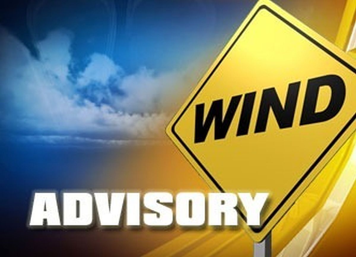
Marshall County will be under a Wind Advisory in effect from 10 a.m. this morning until 7 p.m. this evening. Marshall County will have winds between 20-30 mph with gusts 45-50 mph.
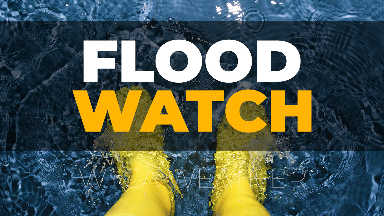
There is a Flood Watch in effect from this evening through Thursday evening. 1-2 inches of rain is forecast. Warm temperatures today will cause the snowpack from last week’s snow to melt rapidly. The ground is still frozen and will not be able to absorb the additional moisture.
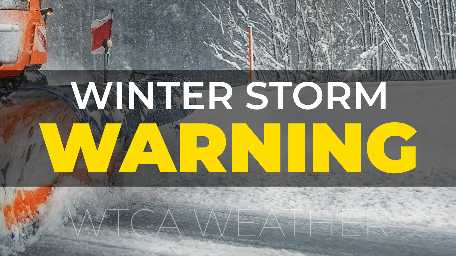
A Winter Storm Watch will go into effect on Thursday and will be active through Thursday evening. Heavy mixed precipitation is forecast including a chance for ice accumulation of up to 1/10 of an inch. Additions snow accumulation of 4-7 inches is also forecast.
Gusty winds will blow around unsecured objects outdoors. Trees and tree branches may break and could result in in damage to powerlines leading to power outages, damage to structures, damage trees may end up across streets and roads and could result in hazardous driving conditions.
Heavy Rain and snow melt will result in flooding of low-lying areas and areas prone to flooding during heavy rains. Ditches, creeks, and retention ponds will see an increase in water levels. At 13.5 feet some residential and commercial properties near the Jefferson Street Bridge in Plymouth begin to flood. Low lying agricultural areas flood as do roads in low lying areas making travel difficult if not impossible on some roads.
The winter mix, including the potential for ice and heavy snow, will make roads hazardous for drivers especially during the evening commute on Thursday.
Citizens should bring in or secure loose objects from outdoors to prevent them from being blown causing damage. If you live in an area that is prone to flooding, take action now to protect yourself and your property. Pay attention to roads that have been marked or closed due to high water. Do not move or drive around cones, barricades, or high-water signs. These devices have been placed there to protect you from a know hazard. Please find an alternate route if your primary route is not accessible due to flood waters across the road. Always drive for the conditions. Give yourself extra time to reach your destination, SLOW Down, increase your following distance, let someone know where you are going and when you expect to arrive, and carry an emergency kit in your car in case you get stuck, or your vehicle becomes disabled.