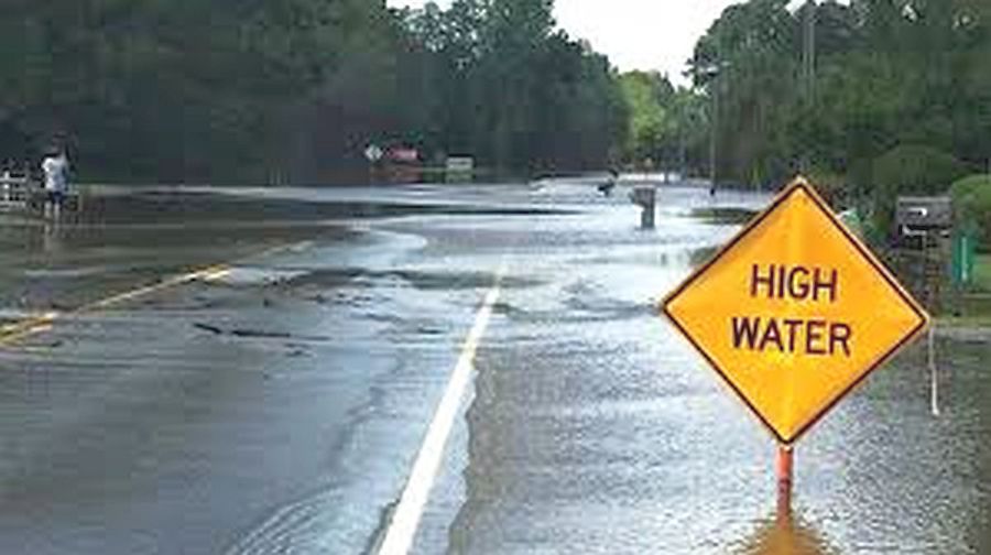
Over the past two days the Marshall County Highway Department has been posting potential high-water areas. Please use caution while travelling these areas for flooding and potential road closings.
North German
- 7th-King to Jarrah
- 5th-Gumwood to Hawthorn
- Gumwood-5B to 6th
- 4th & Grape
- 5th & Hawthorn
Center Bourbon
- 12th-Ironwood & Iris=2
- Hickory-12B to 14th=2
- 12B-Jarrah to Hawthorn=2
- Gumwood-8th to 7th=2
- Hickory-8th to 7th
- 8th-Hickory to Fir
- 8A-Iris to Hawthorn & 8B
- 14B to Elm=sandbags
- Gumwood to SR10 & 15=sandbags
- Jarrah-12B & 14th=2
- 9B & Gumwood
North
- Oak n/o 3rd=2
- 1A off Oak=permanent sign
- Olive s/o 4th=2
Center
- 11B-w/o Muckshaw=2
- 13th-Maple east to curve 1
- 12th-31 to King=2
Green
- 19th-Linden & Maple=2
- 14B & Nutmeg=2
Walnut
- 20B-Michigan to 31=2
- 19th-Michigan tp Fir=2
- Gumwood-SR10 to 15th=2
Union
- Sr17 & 15th=2
- 20B & Sycamore=2
- 15B & redwood=2
- 14B-SR17 to W.Co.Line=2
- Redwood-14B to 15B in Hibbert=2
Bourbon
- 13th Trail-331 & Beech
- Beech-8th & 7th
- Beech-9B & 8th
- 8A-Fir & Elm
- 8th-331 & Elm
- 9B-331 to Co.Line=2
- 8th-331 to Bourbon=2
German
- 6th-Cedar & Beech
- Cedar-6th & 7th
- Beech-6th & 7th
- 3B & Beech
- Beech n/o US6
Tippy
- Sr10 & Birch
- 18th & Birch
- 14B & Elm=3
- Fir-17B to SR110=2
- 20th-Fir to 331=2
- Dewberry-17B to 18B=2
Polk
- SR6 & Redwood & Co.Line=2
- Thorn-4B & 3B=2
- 7th-Ply-Laporte & Co.Line=2
- Sage-Ply-Goshen to SR6=2
- Main St & Boyce
- Rose & 6th
West
- Union-9th to Lincoln Hwy
- 9B-Co.Line to Union
- Redwood-SR17 to 9th
- 14th-SR17 to Rose
- 12th-Upas to Union
- Upas-SR8 to 13B