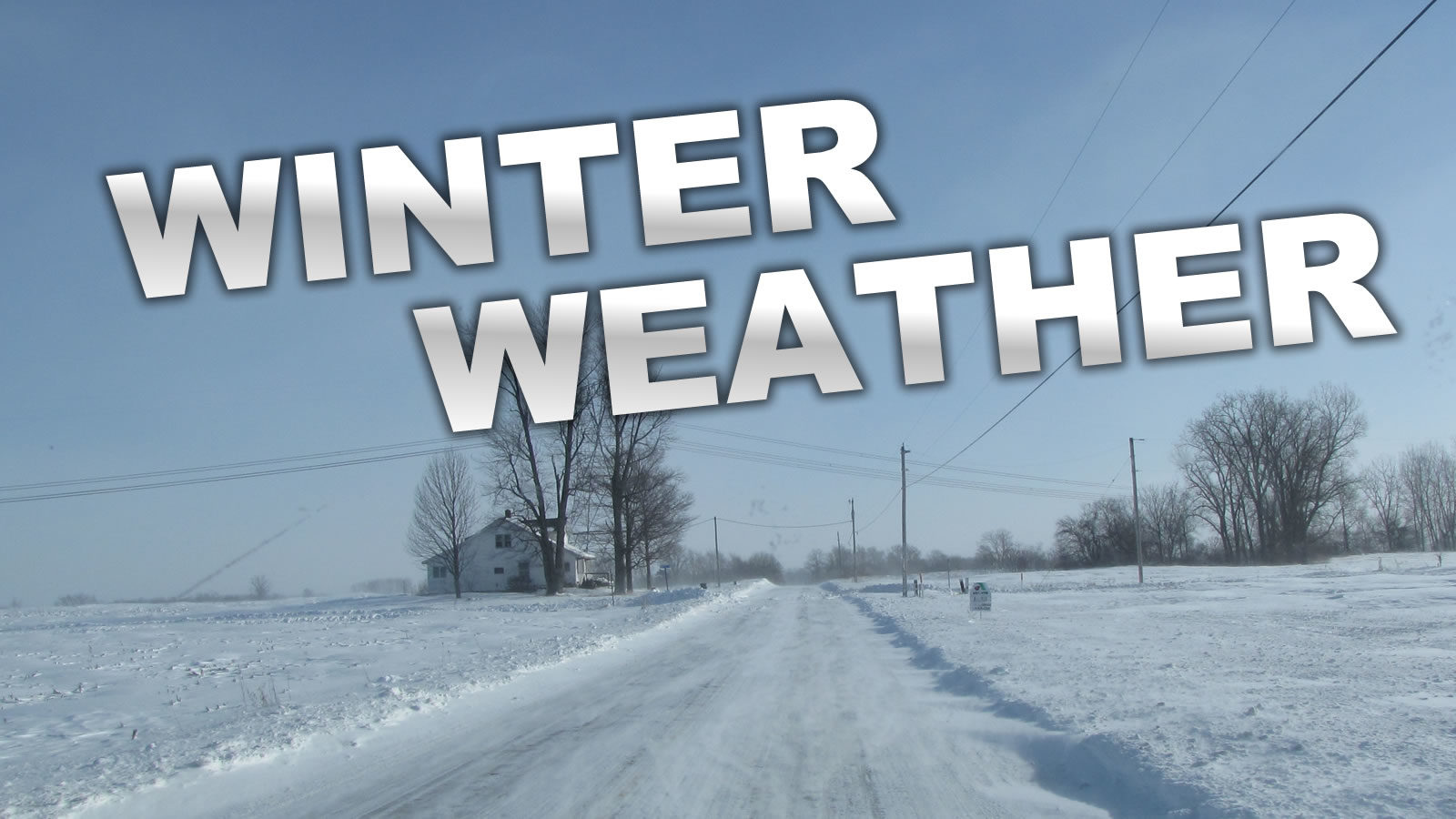
The National Weather Service is still forecasting the potential for a significant winter storm this weekend. The forecast models are still uncertain as to the specific storm track, they currently show us under a “High Risk” area to receive ice and heavy snow.
There are currently no ADVISORIES, WATCHES, or WARNINGS issued at this time.
Impacts from the storm would be ice and heavy wet snow on roads and bridges will make travel extremely hazardous and will cause a significant number of accidents and slide-offs. Ice on trees and tree limbs can lead to downed trees or limbs across roads, into homes, and other buildings. Downed trees/limbs will also most likely cause damage to power lines and poles and result in power outages.
To be prepared stay informed about current conditions through local news sources and the National Weather Service. If you must go out, give yourself plenty of extra time to reach your destination. S-L-O-W down and adjust your following distance. Clean snow from your windshield, head, and taillights. Keep your gas tank at least half full.
Put together an Emergency Kit for your vehicle:
Your kit should include:
- Cell phone charger
- Extra clothing, blankets, or a sleeping bag
- Flashlight and extra batteries
- Jumper cables
- Tow strap
- Small tool kit
- Emergency flares
- Shovel
- Sand or cat litter for traction
- Windshield scraper and brush
- High-calorie, non-perishable food
- First-aid kit
- Knife
- Toilet paper
- Waterproof matches or lighter