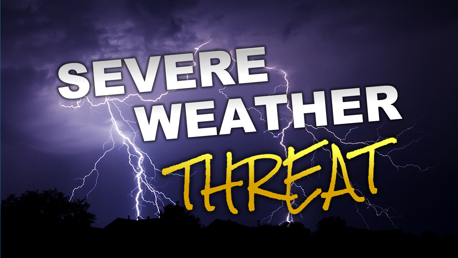
The National Storm Prediction Center has included Marshall County in the “Slight Risk” Category for Severe Weather this afternoon from approximately 4:00 pm until around 1:00 am early Tuesday morning.
WHAT: Damaging wind gusts to 60 mph, large hail to 1-inch diameter, heavy rain
IMPACT: Strong winds or tornadoes may damage structures, and bring down trees or tree limbs which could cause damage to powerlines leading to power outages. Downed trees and debris may impact travel. Heavy rains could cause flash flooding, flooding of low-lying areas, and areas that are prone to flooding during heavy rains.
PREPAREDNESS ACTIONS: Continue to monitor local news for updates throughout the day and evening. Check your emergency kit. Charge your cell phone and be sure to check you flashlights and lanterns. If you must drive at night, be mindful of downed trees across roads as they may be difficult to see. Never touch downed power lines as you have no way of knowing if they are energized or not. If you live in an area that is prone to flooding caused by heavy rain, be prepared to move to a safer location.